


What is the name and location of the bushfire?
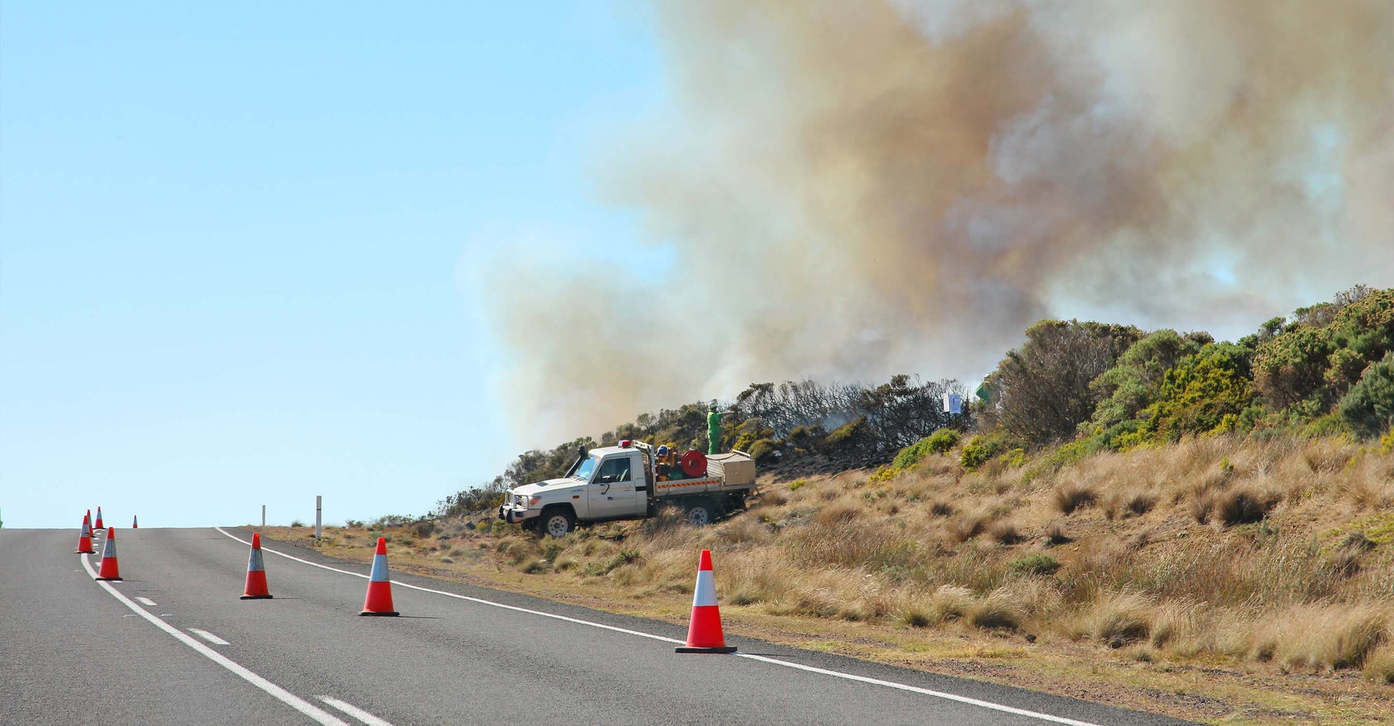
Towns are being evacuated and roughly 110 square miles of land have burned in a bushfire in western Victoria, Australia. On Friday, February 23, 2024, the bushfire burned properties around the Pyrenees Ranges, near towns like Beaufort, Elmhurst, Amphitheatre, and along the Pyrenees Highway.
High temperatures were helping fuel the bushfire. Though a cold front moved in overnight, strong winds are fanning the blazes.
Which cities or areas are affected by the bushfire?
Several towns west of Ballarat, Australia were under threat from the bushfire, including:
- Raglan
- Beaufort
- Elmhurst
- Amphitheatre
- Main Lead
- Middle Creek
- Bayindeen
- Chute
- Mount Lonarch
- Waterloo
These areas are under emergency warnings, watch, and act alerts.
What is the current containment status of the bushfire?
Firefighting efforts involve more than 1,000 firefighters, over 50 aircraft, and various vehicles. The fire spans approximately 11,000 hectares (110 square kms), and containment efforts are underway, with specific focus on protecting areas like Elmhurst.
Are there any evacuation orders or alerts in place?
Raglan and Beaufort have received evacuation orders, and emergency warnings are active for multiple areas, including Bayindeen, Chute, Elmhurst, Mount Lonarch, Main Lead, Middle Creek, Amphitheatre, Avoca, Crowlands, Eversley, Glenlofty, Glenpatrick, Nowhere Creek, Landsborough, Green Hill Creek, Percydale, and Warrenmang.
At least two schools have closed, and around 5,000 properties are without power.
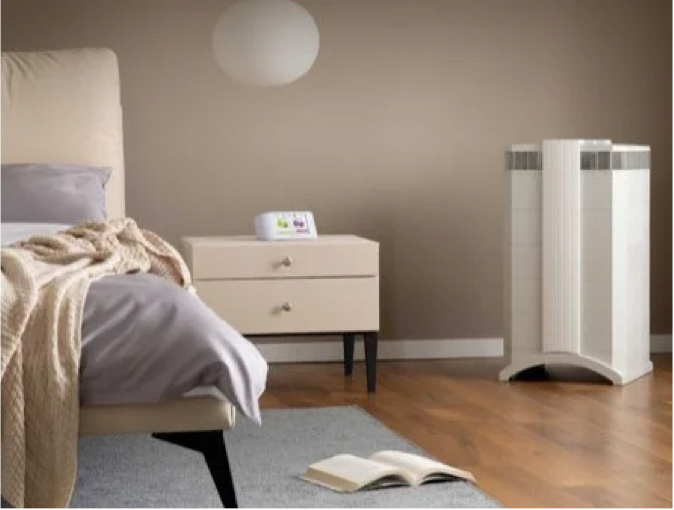
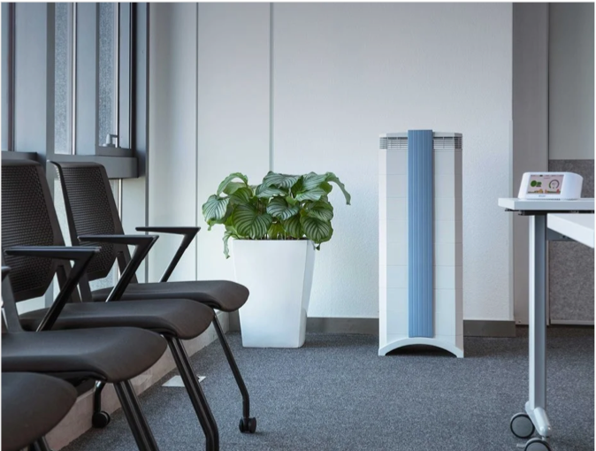
Protect yourself from wildfire smoke
See how a wildfire smoke air purifier can help clean your air.
How can I protect myself from wildfire smoke?
Always plan ahead to protect yourself from wildfire smoke.
- Get a free air quality app for real-time air quality alerts and forecasts.
- Shut doors and windows and set the HVAC to recirculate mode.
- Run a high-performance air purifier to filter wildfire smoke.
- Contribute to your community’s outdoor air quality data.
- Stay indoors; if you do need to go outdoors, wear a NK95/FFP2 mask.
The number one air cleaning solution for your home.
Lorem ipsum Donec ipsum consectetur metus a conubia velit lacinia viverra consectetur vehicula Donec tincidunt lorem.
TALK TO AN EXPERTArticle Resources
Article Resources